- placemakingpodcast@gmail.com
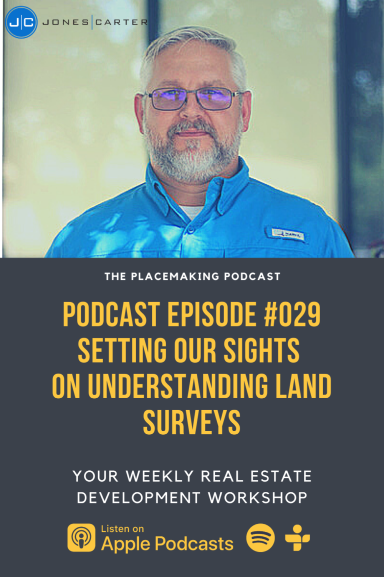
Setting our Sights on Understanding Land Surveying with Daniel Arthur, RPLS – Ep. 029
About the Guest
I am pumped to share this next conversation with all of you. Daniel is the North Texas Survey Division Manager at Jones|Carter located in Plano, Texas. Daniel brings with him over 20 years of experience in the land surveying industry. After doing his time as a survey tech and office manager for 10 years in east Texas, he struck out to make a name for himself by forming Daniel Arthur Surveying, LLC. After almost 12 years running his own firm, he found himself wanting to join a firm in North Texas. After visiting several firms, he chose to come and be the North Texas Survey Division Manager at Jones|Carter.
Originally founded in 1976, Jones|Carter has grown to more than 500 employees in 10 offices across Texas, their team is organized around 12 services that support nearly 20 public and private market sectors. Remaining true to their mission has helped them to be consistently voted a Best Place to Work by local and regional publications and an Engineering News-Record Top 500 National Firm. You can find out more about Jones|Carter by clicking on the link at the bottom of the page.
In this episode, we are going to unpack the various types of surveys commonly used in land transactions, the current limitations and advantages of LiDAR scanning technologies, and the common myths about land surveying that he often sees and how he would bust those myth. As you will hear on the show, he brings tons of experience on the subject of land surveying and the implementation of the new technologies being utilized in surveying today. I think you will enjoy his take on the various types of land surveys utilized today and how new technologies in surveying might affect the future of real estate development. After listening to this show you will have a greater understanding of land surveys and how they affect your real estate development project.

Main Take-Away’s From This Show
Land surveying has been around for thousands of years and a few things have changed along the way but at its core, the objective of surveying has remained the same. According to Britannica.com, surveying is “a means of making relatively large-scale, accurate measurements of the Earth’s surfaces.” This is no simple feet. It takes several man-hours to produce a document depicting the various attributes of a particular property. The complexity of this task often leads to confusion and a general misunderstanding of the product that these surveyors are delivering. That is why I believe this was a much needed conversation to have on the show. The main take-aways I got from my conversation with Daniel in this “unofficial” Land Surveying 101 course are as follows:
- Land surveys come in all sorts of shapes and sizes, depending on the needs of the owner, developer, financial institution, etc…
- Understanding the needs of your financial institution when ordering various items on the Table A list for ALTA’s is extremely important.
- Utilizing Light Detection and Ranging (LiDAR) for surveying can be useful, but also has its limitations.
As always, I will dig into each of these “take-away’s” every week on the blog. So, without further a due, here we go!
1. Land surveys come in all sorts of shapes and sizes, depending on the needs of the owner, developer, financial institution, etc…
Land surveys come in all different types based on the needs of the end-user. There are boundary surveys, topographic surveys, and land title surveys (ALTA/NSPS surveys) to just name a few. Each one is utilized at the various stages within a real estate transaction or development.
Boundary surveys are fairly common in nature and often are requested in the initial phases of your ground-up real estate development project if an existing survey is not available. A boundary survey is used to determine what the true boundaries of a parcel or tract of land are. Just as its name implies. Boundary surveys include the field work needed to locate property corners and monuments on the site while utilizing historical data such as plats and recorded deeds to determine the true property boundaries.
Topographic surveys are often a frequent request that follows the boundary survey or in many cases is included as part of the boundary survey due to the fact that the survey crew can get all of the data needed for both surveys in one field visit. This means that you don’t have to pay for an additional mobilization out to the property which helps to reduce costs. The topographic survey consists of existing elevation points taken on a grid, existing pavement, and buildings, along with any other items of significance that are visible above ground. This survey is used by the Civil Engineer when preparing a civil site design.
The last one mentioned was the Land Title Survey (or ALTA/NSPS survey), which is common in land transactions as this survey fulfills the requirements of most lending institutions. This transitions perfectly into our next main point…
2. Understanding the needs of your financial institution when ordering various items on the Table A list for ALTA’s is extremely important.
In order for a bank to feel comfortable in lending money to you, the borrower, in order to purchase a piece of property, the bank will want a guarantee that the property that you plan on purchasing is truly what you say it is. That is where a title policy comes in. The title policy ensures that the property is indeed guaranteed and can be used as a real property collateral if the borrower defaults on the loan.
That is where the story of the Land Title Survey emerges. In order for the title companies to feel secure in issuing a policy on the land, they began to require standard items to be shown on the land survey prepared for the property. These standard items list morphed into what we know now as the Table A list of the ALTA/NSPS Land Title Survey. There is a minimum standards list that requires existing buildings, property lines, and easements for this survey. However, there is an optional survey responsibilities and specifications section that makes up the entirety of Table A.

3. Utilizing Light Detection and Ranging (LiDAR) for surveying can be useful, but also has its limitations.
This last take-away is one that I find extremely interesting. LiDAR has been around since the 60’s but has more recently been utilized in land surveying as terrestrial laser scanning. LiDAR stands for Light Detection and Ranging. According to NOAA.gov, LiDAR “is a remote sensing method that uses light in the form of a pulsed laser to measure ranges (variable distances) to the Earth. These light pulses—combined with other data recorded by the airborne system — generate precise, three-dimensional information about the shape of the Earth and its surface characteristics.”
There are many methods for land surveyors to collect this LiDAR data including aerial (utilizing drones or other aircraft), mobile LiDAR (utilizing a automobile with laser scanners), and other various handheld units. These data provided includes millions of points which then have to be processed in order to provide a usable file. The limitations that Daniel has encountered with the technology is the level of accuracy when field conditions are heavily forested or unkept as well as the inability to survey subterranean aspects of the site such as utility flowlines or storm culvert flowlines. There’s no doubt that this technology can greatly reduce the amount of time a crew needs to be on site but as with many technologies, it does have its limitations.
As you can see from the take-aways above, this podcast episode was full of great information on the topic of land surveying and how it affects your next real estate development project. As always, if you have enjoyed the content and the show, please subscribe to the show below and share with your friends! We’ll have many more great discussions on the shows to come.
To Learn More About Daniel Arthur and Jones|Carter, Check out the Following Websites:
Resources Mentioned:
Recommended Reading Section
This podcast is brought to you by Audible! I have used Audible for many years now. I love it. Audible hands-down, has the largest selection of audiobooks in the world! I listen when I’m taking I’m riding to work, I listen while I’m running, basically… I listen whenever I can. Audible is offering The Placemaking Podcast listeners a two-free audiobooks with a 30-day trial membership. Just go to Audible.com and browse the amazing selection of audio programs. Then, when you’ve found a couple books you like, download your free titles and start listening! It’s extremely easy. Simply go to Audible.com
Podcast: Play in new window | Download (Duration: 58:01 — 35.9MB) | Embed
Subscribe: Apple Podcasts | Spotify | TuneIn | RSS | More


